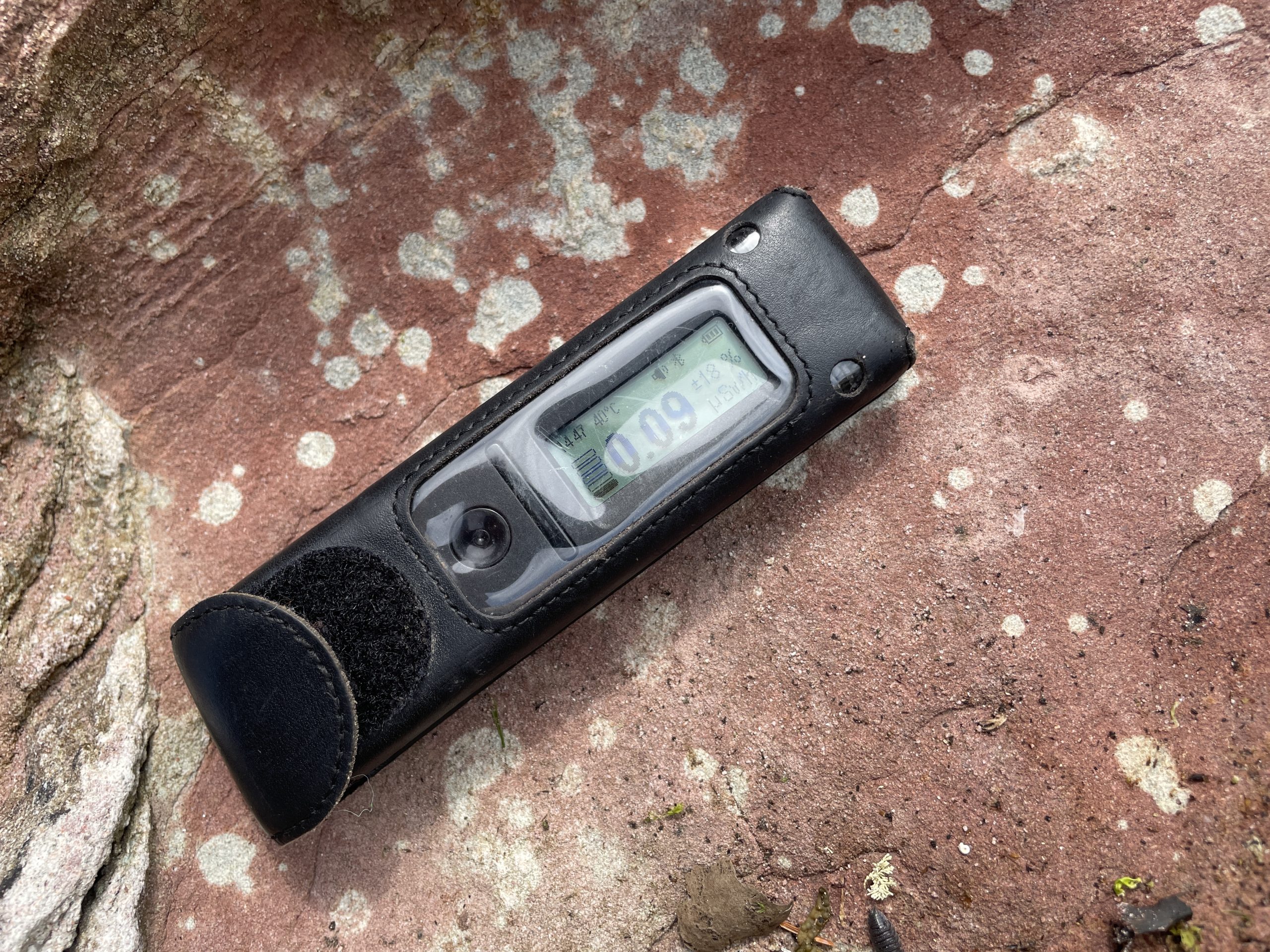
To accompany our latest YouTube video, this blog is designed to add more meat to the Cumbrae geology bones. But even this blog (and Part 2 coming soon) won’t cover everything. It truly is the Rosetta Stone of Geology.
Doughend Hole
A spectacular start to our adventures. This beach area marks a fascinating juxtaposition where older red sandstones and silty sandstones of the Devonian period meet the red-brown marls forming the basal unit of the Lower Carboniferous.
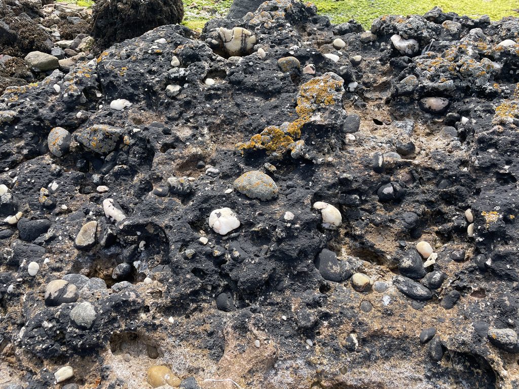
- Spectacular Conglomerates: As you move along the intertidal foreshore, you can see stunning lenses of conglomerate containing pure-white quartz pebbles embedded within cross-bedded sandstone.
- Volcanic Intrusions & Dyke on Dyke Action: The area is cut by numerous non-porphyritic dolerite dykes alongside a prominent 3.6-metre-thick macro-porphyritic dyke belonging to the island’s Early Carboniferous “Suite 1” group. Adding to the complexity, a younger N.N.W.-trending Tertiary dyke (roughly 60 million years old) physically cuts across these older features.
- Porphyritic vs. Non-Porphyritic: These rocks tell a story of a long journey. Porphyritic rocks feature large phenocrysts that cooled slowly deep underground before being suddenly pushed upward to form a fine-grained matrix, whereas non-porphyritic rocks cooled more uniformly.
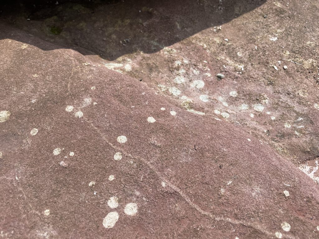
- Reduction Spheroids: these green/white spots are the action of ancient microbes, metabolising the iron and turing the matrix from red to white. This action – chemical reduction – also concentrates heavy metals such as gold, nickel and Uranium.
Shell Hole
Located on the southwest coast between Westbourne Cove and Doughend Hole, Shell Hole serves as a window into a warm, shallow-water world from the Lower Carboniferous period.
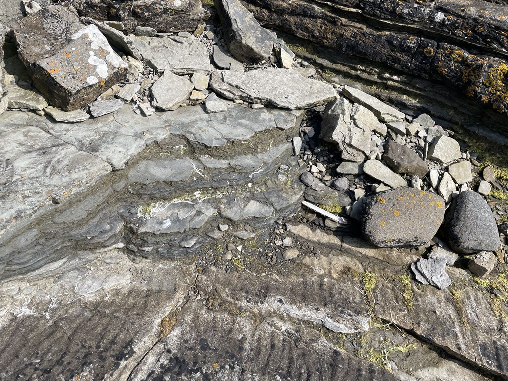
- Sedimentary Features: The site is dominated by red-brown marls and laminated sandstones preserving ripple marks, desiccation “mud cracks” indicative of a hot, arid climate like a modern wadi or sabkha, and grey algal limestones formed by ancient colonies.
- Sea Tomatoes: Hiding in the cracks at Shell Hole. Their scientific name is “Actinia mediterranea”, fixed to the rock at low tide, stinging tentacles out at high tide feasting on prey.
- The Ballagan Beds: Scientifically part of the Ballagan Formation, these layers represent partial marine incursions sitting between arid terrestrial marls and higher-energy sandstone systems.
Westbourne Cove
At Westbourne Cove near Portachur Point, ancient biological history meets relatively recent glacial geomorphology.
- Fossilised Stromatolite Beds: Dating to the Lower Carboniferous, these undulating, nodular structures were created by colonies of blue-algae (cyanobacteria) flourishing in warm, shallow seas.
- Post-Glacial Raised Beach: Driven by isostatic rebound approximately 8,000 years ago after the melting of ice age glaciers, the ancient shoreline – once 10 metres higher than today – was lifted into a dry coastal terrace.
- Biological Time Capsule: Interspersed shell beds reveal a mix of modern species, sub-Arctic indicators from post-glacial periods, and brief intervals of slightly warmer seas.
Little Cumbrae
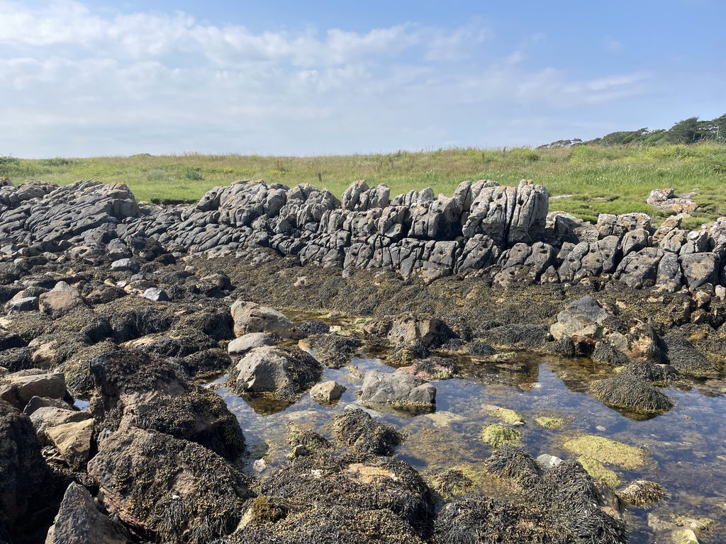
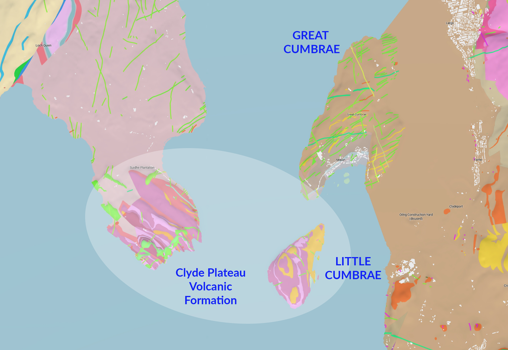
While Great Cumbrae is a sedimentary “museum” of ancient sandstones and dykes, Little Cumbrae is geologically distinct, consisting almost entirely of a thick succession of Carboniferous basalt lavas.
- The “Stair-Like” Terraces: The island features regular escarpments formed by the weathering of eight distinct lava flows (including Markle basalts and mugearites) with an aggregate thickness of up to 800 feet.
- The 1km Tectonic Shift: Geologists interpret Little Cumbrae’s syncline as sharing a continuous structure with western Great Cumbrae, which was offset by roughly 1.0 km of dextral strike-slip movement along the Little Cumbrae Fault.
- The Clyde Lava Basin: Little Cumbrae forms a vital western outlier of the massive Clyde Plateau Volcanic Formation, acting effectively as the “roof” to the sedimentary story found on its larger neighbour.

Crocodile Rock
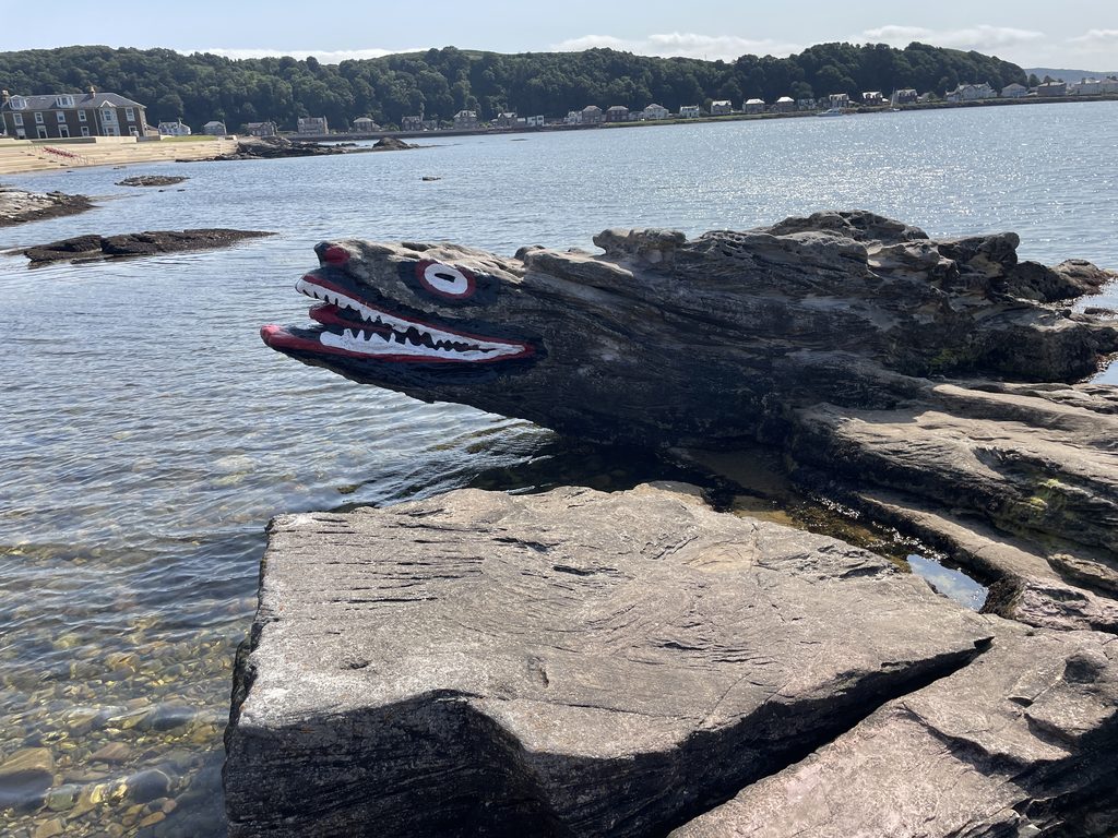
A beloved local cultural landmark rather than a scientific site. This rock on the Millport shoreline has been painted to resemble a crocodile – dubbed “the Clyde’s fiercest stone” – with origins steeped in local legend around 1900.
Farland Point
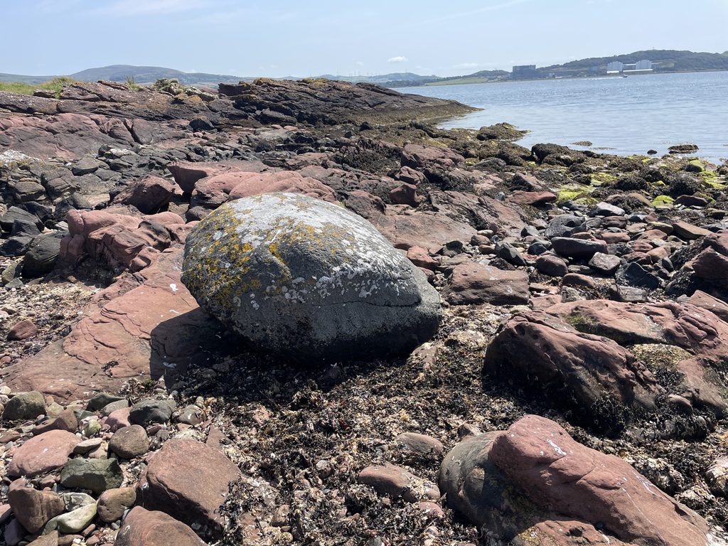
Marking the southern tip of Great Cumbrae, Farland Point showcases unique acid igneous intrusions and massive glacial visitors.
- Albite-Bostonite “Bosses”: Short, thick, light-coloured igneous masses rich in alkali-feldspars that contrast sharply with the surrounding red sandstone.
- The Gneissoze Boulder: A massive, two-ton glacial erratic of greyish-green metamorphic rock featuring quartz veins, carried south by glacial ice from the Scottish Highlands.
Queen Victoria’s Face / Red Craigs Cave
Located near the Marine Biological Station, this area highlights macro-porphyritic sills and coastal erosion.
- Queen Victoria’s Face: A natural rock profile formed by the weathered edges of a bostonite sill that strikingly resembles Queen Victoria from the right angle.
- Red Craigs Cave: A sea cave hollowed out of a bostonite dyke-turned-sill during higher post-glacial sea levels, steeped in local smuggler lore.
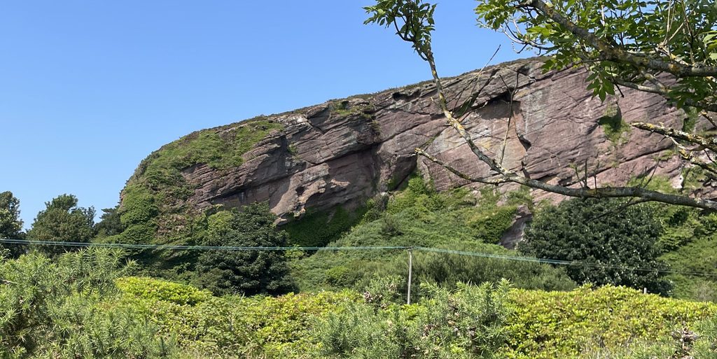
Deil’s (Devil’s) Dyke & Lion Rock
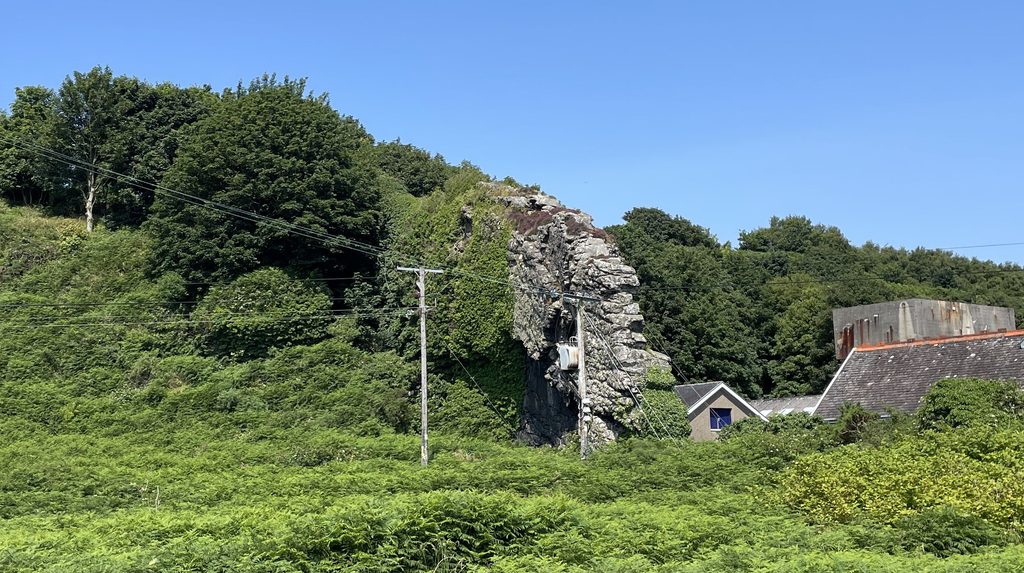
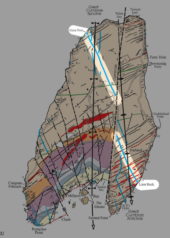
These prominent, sheer-walled features are textbook examples of Tertiary (Palaeogene) igneous activity originating from the Mull volcanic centre roughly 60 million years ago.
- Cumbraite Composition: Composed of cumbraite – a unique rock named after the island featuring large plagioclase feldspar (anorthite) phenocrysts set in a dark, glassy (vitreous) groundmass.
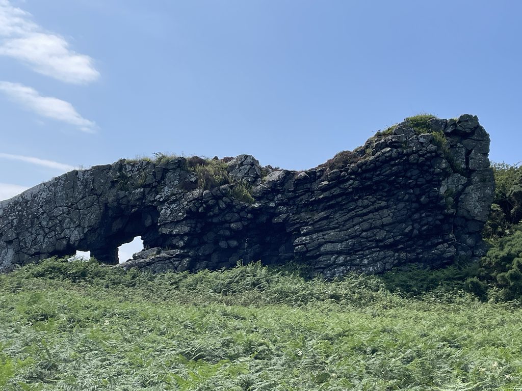
Eeire Point
Serving as the type locality for cumbraite designated by G.W. Tyrrell in 1917, this 9-metre-wide dyke dips steeply and exhibits a brilliant vitreous lustre and fresh central glass, offering a pristine window into near-surface Palaeogene magma emplacement.
- The Great Cumbrae Fault Shuffle: Lion Rock and the Eerie Port dyke were originally a single continuous intrusion before the Great Cumbrae Fault sliced through and offset them by over a kilometre. Both dykes stand proud as natural walls because surrounding soft sandstones eroded away during the ice age.
Tormont End
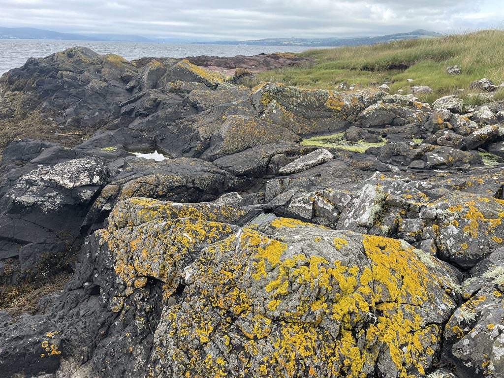
Featuring a massive E.N.E. quartz keratophyre dyke alongside a sandstone obelisk monument commemorating the midshipmen of the HMS Shearwater, this area showcases dense minor intrusions.
Lady’s Bay and Downcraig Ferry
- Lady’s Bay: Features a massive 37-foot-thick Markle basalt dyke splitting into rhombohedral masses, alongside a prehistoric burial cairn excavated in 1878 that yielded an urn and burnt bones.
- Downcraig Ferry: Displays a 75-foot-wide Permo-Carboniferous quartz-dolerite dyke serving as a key structural marker for fault displacement.
In Part 2
We will focus on the radioactive story of the island. At Kames Bay, the rocks are radioactive. White Bay is at the opposite end of the island, but both bays have fresh water streams. This is an important clue into why the island is radioactive. A final stop to the top of the island, a visit to the mineral well and Glade Stone, complete the investigation where we’ll reveal the final answer to why this island is radioactive.